Skip to main content.
Currently:64.5°F Night time, Light rain, overcast -
Night time, Light rain, overcast -
Comfort Index: ---
 Updated:  01-Nov-2026 3:10am @ 
 
Time of Next Full Update: 3:15 am -  Station Elev: 1469 ft  
Pepper Ridge North Valley - SWN Navigation Menu
Pepper Ridge North Valley - Main Naviagation Menu

Weather Links:

       Home Page 

      Current Weather 

           Forecast Page 

          Historical Data

           Live Lightning 

            Monsoon Info 

        Satellite/Radar 

       Station Info

     Tropical Weather

        Weather Ed. 101 

          Weather Links 

      Weather Photos 

  Weather Warnings

       More Wthr Links 

Us Flag

New FeatureNew Feature
N.O.A.A Radio

Celebrating
20 Years on the web
2005 - 2025

& 25+ Years of Data
1997 - 2025
At Pepper Ridge

 Weather Reports: 
Monsoon 2026New Feature
 Highlights. 

Monsoon 2025
 Highlights. 

Monsoon 2025New Feature
 Wrap Up Review. 

Monsoon 2021
 Wrap Up Review. 


Side Bar Php

Current Conditions

@ 01-Nov-2026 3:10am
64.5°F  
Temp Change: °F /hr
Night time, Light rain, overcast -  Night time, Light rain, overcast -
Feels Like: 64 °F
Humidity: 52% 
Dew Point: 46.5 °F 
Wind: Calm
---

 mph
Gust: 0.0 mph
Pressure: 29.82 in Falling 0.003 inHg/hour
Steady
Solar Rad: 0%
0 W/m2
UV Index: 0.0
None
Rain Today: 0.30 in
Rain Rate: 0.122 in
Rain Month: 0.30 in
Rain Year: 8.49 in

Almanac

Sunrise: 6:47 am
Sunset: 5:36 pm
Moonrise: 10:59 pm
Moonset: 1:21 pm
Waning Gibbous Moon
Waning Gibbous Moon, Moon age: 21 days,9 hours,4 minutes,58%
58%
Illuminated

Daily Min/Max

Today's High Temp: 64.5°F
12:00am
Today's Low Temp: 64.5°F
12:00am
Today's High Humidity: 52%
12:00am
Today's Low Humidity: 52%
12:00am
Today's High Dewpoint: 46.5°F
12:00am
Today's Low Dewpoint: 46.5°F
12:00am
Today's High Barometric Pressure: 29.862 in/Hg
12:05am
Today's Low Barometric Pressure: 29.803 in/Hg
2:37am
Today's High Wind Speed: 1.2 mph
12:53am
Today's
High UV:
0.0
None
12:00am
Today's
High Solar:
0 W/m2
12:00am
Today's High Rain Rate: 0.030 in/min
1:23am
Today's High
Hourly Rain Rate:
1.826 in/hr
Days Since
Last Rain:
0 Days

Current NWS Alerts:


Yavapai County
  Details for Yavapai County Flash Flood Warning  +2 additional alerts
Maricopa County
  Details for Maricopa County Flood Warning  +3 additional alerts
Gila County
  Details for Gila County Flood Warning  +4 additional alerts
Pinal County
  Details for Pinal County Flood Advisory  +3 additional alerts
Eastern & Western Mogollon Rim/White Mtns
  Details for Eastern & Western Mogollon Rim/White Mtns Wind Advisory  +2 additional alerts
Central/North Phoenix
  Details for Central/North Phoenix Flood Watch  +1 additional alert
East Valley Phoenix
  Details for East Valley Phoenix Flood Watch  +1 additional alert
West Valley Phoenix
  Details for West Valley Phoenix Flood Watch
Globe/Miami/Superior
  Details for Globe/Miami/Superior Flood Watch
Tucson/Green Valley
  Details for Tucson/Green Valley  Flood Watch
Central Pinal Eloy/Picacho Peak
  Details for Central Pinal Eloy/Picacho Peak Flood Watch
Upper Santa Cruz River Valley & Nogales
  Details for Upper Santa Cruz River Valley & Nogales Flood Watch
Cochise County
  Details for Cochise County Flood Watch  +1 additional alert
Santa Cruz County
  Details for Santa Cruz County Flood Watch  +1 additional alert
Graham/Greenlee Counties
  Details for Graham/Greenlee Counties Flood Watch  +1 additional alert
Pima County
  Details for Pima County Flood Watch  +2 additional alerts
Yavapai County Valleys & Basins
  Details for Yavapai County Valleys & Basins Flood Watch
Coconino County/Flagstaff & Kaibab Plateau
  Details for Coconino County/Flagstaff & Kaibab Plateau Flood Watch
Oak Creek & Sycamore Canyons
  Details for Oak Creek & Sycamore Canyons Flood Watch
Glen & Marble Canyons/Lake Powell
  Details for Glen & Marble Canyons/Lake Powell Flood Watch
Grand Canyon Country
  Details for Grand Canyon Country Flood Watch
Upper San Pedro River Valley & Benson/Sierra Vista
  Details for Upper San Pedro River Valley & Benson/Sierra Vista Flood Watch
Eastern Cochise County & Douglas/Wilcox
  Details for Eastern Cochise County & Douglas/Wilcox Flood Watch
Lake Havasu/Fort Mohave & Lake Mead Nat Recreation Area
  Details for Lake Havasu/Fort Mohave & Lake Mead Nat Recreation Area Flood Watch

Lower Sidebar Page
Pepper Ridge Weather Station
USA Weather Finder
Wunderground

Sky Warn

CWOP 3794 Quality Control Logo
CW 3794

For more information
about this site
contact the
Web Master

Willow Fire Pyro Cumulus Cloud

Return to Top
of Page

Welcome to Pepperridge North Valley's
Phoenix Air Quality Stats Page


Phoenix, AZ Air Quality Index


Realtime Air Quality Data
Realtime Location: Phoenix, AZ
Issue Date: 11/01/26 2:00 AM MST


Current Air Quality Index

  Good 32


Action Day Alert:
There are currently no High Pollution Advisory alerts for Phoenix, AZ

Realtime AQI - Pollutant Details
Type: Particle Pollution (2.5 microns)
Index: Good
AQI Value: 32
  Good

Type: Ozone Good - 6 AQI - Particle Pollution (10 microns)
Index: Good
AQI Value: 28

  Good

Last Update:
Sun, 01 Nov 2026 03:00:08 MST


0-50 Good
51-100 Moderate
101-150 Unhealthy for Sensitive Groups
151-200 Unhealthy
201-300 Very Unhealthy
301-500 Hazardous


Air Quality Forecast
Forecast Location: Phoenix, AZ
Forecast Agency: Arizona Department of Environmental Quality
Two Day Forecast
Day One Forecast Day Two Forecast
Date: 11/01/2026
Type: Particle Pollution (2.5 microns)
Index: Good
AQI Value: 40

  Good
Date: 11/02/2026
Type: Particle Pollution (2.5 microns)
Index: Good
AQI Value: 48

  Good
Last Update:Sun, 01 Nov 2026 03:00:10 MST


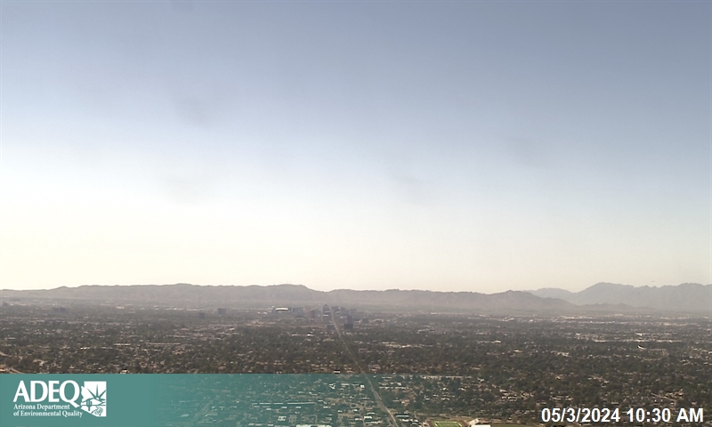
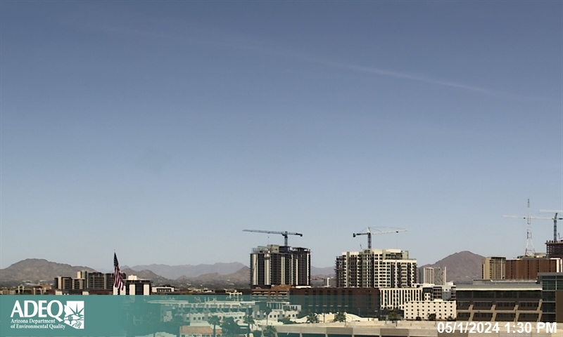
Phoenix Area Haze Cams
South Mountain Cam Camelback Mountain Cam
South Mountain Haze
Camelback Mountain Haze
     Images courtesy of Phoenixvis.net | Map and Full Visibility Images


Current Hourly Air Quality Index Map
AQI: Good AQI: Moderate AQI: Unhealthy for Sensitive Groups AQI: Unhealthy AQI: Very Unhealthy AQI: Hazardous


Today's Air Quality Forecast
AQI: Good AQI: Moderate AQI: Unhealthy for Sensitive Groups AQI: Unhealthy AQI: Very Unhealthy AQI: Hazardous


Today's Air Quality Timed Animation
AQI: Good AQI: Moderate AQI: Unhealthy for Sensitive Groups AQI: Unhealthy AQI: Very Unhealthy AQI: Hazardous


Today's Southwestern U.S. Air Quality Timed Animation
AQI: Good AQI: Moderate AQI: Unhealthy for Sensitive Groups AQI: Unhealthy AQI: Very Unhealthy AQI: Hazardous


Script courtesy of  Michael Holden of Relay Weather. Data courtesy of Airnow.gov


Member of the:
LightningRing

World Weather Websites

 Pepper Ridge North Valley Random Weather Facts

RAINFALL
In Arizona, typically, the heaviest rain falls during the summer thunderstorm season, or Monsoon, in our state. The rain can accumulate very quickly, resulting in flooded streets or washes, and can even cause deaths via flash flooding. In Phoenix, the greatest rainfall in a 24 hour period was 4.98 inches on July 1-2, 1911. This total is quite a bit less than the Arizona record of 11.4 inches, which fell on Workman Creek (near Globe) on September 4-5, 1970.

Get the Facts PHP


Page layout last updated on Jan 3rd, 2011